Take Flyover tours in Maps on iPad
In the Maps app ![]() , you can fly over many of the world’s major landmarks and cities. Flyover landmarks are identified by the Flyover button on their place cards.
, you can fly over many of the world’s major landmarks and cities. Flyover landmarks are identified by the Flyover button on their place cards.
View a city or landmark from above
On supported models, move the iPad screen to seemingly fly over a city or landmark.
Open the Maps app
 on your iPad.
Search for a city or the name of a landmark, then tap its name in the search results.
Tap Flyover on the place card.
If Flyover doesn’t appear on the place card, tap More
 (on the right side of the place card), then tap Flyover.
Do any of the following:
Change viewing direction: Point or tilt iPad in the direction you want to view.
Move around: Drag a finger in any direction. To rotate perspective, touch and hold the screen with one finger, then continue holding it in place while you drag another finger around it.
To return to the map, tap
 in the card at the bottom of the screen. (Tap anywhere on the screen if doesn’t appear.)
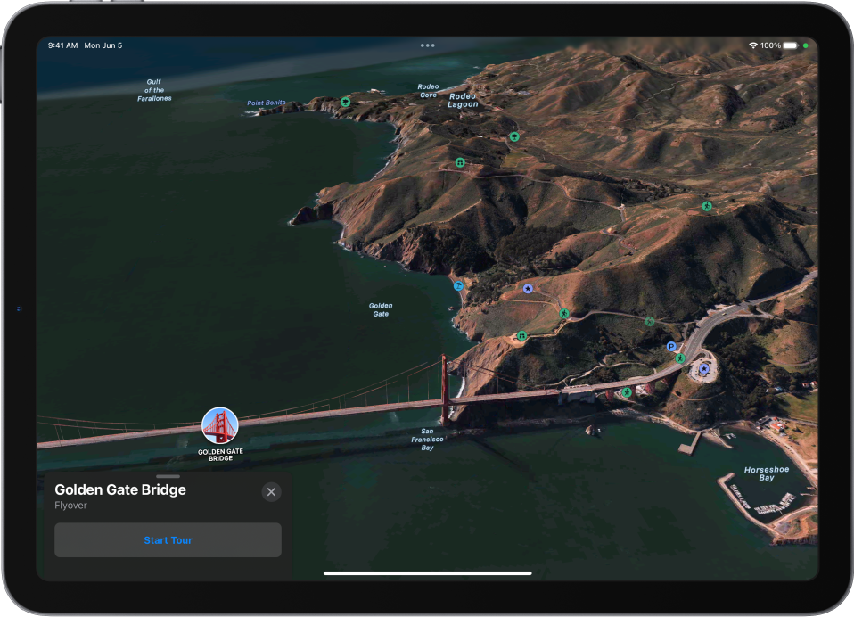
Watch an aerial 3D tour
Take a Flyover tour of a city or landmark.
Tap the name of a city (in map or satellite view) or the name of a landmark.
Tap Start Tour or Start City Tour in the card at the bottom of the screen. (If the card doesn’t appear, tap anywhere on the screen.)
To return to the map, tap
in the card at the bottom of the screen. (Tap anywhere on the screen if doesn’t appear.)
For a list of sites with Flyover, see the iOS and iPadOS Feature Availability website.