Modifying this control will update this page automatically

Find your way through airports or shopping centres in Maps on Mac
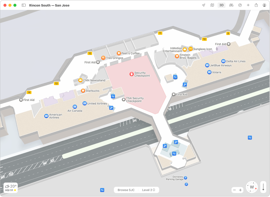
You can quickly get around airports, public transport stations or shopping centres.
Note: Maps for airports, public transport stations and shopping centres aren’t available in all countries or regions.
In the Maps app
on your Mac, click the Current Location button  or enter a location in the search field, then click a result in the list.
Click Look Inside — or zoom in by pinching two fingers open on a trackpad.
Click a category (like Food, Toilets or Gates) in the place card to see results on the map.
To see more information about a result click it.
To see a map of a different floor, click the button for the floor level at the bottom of the window (zoom in if you don’t see the button).