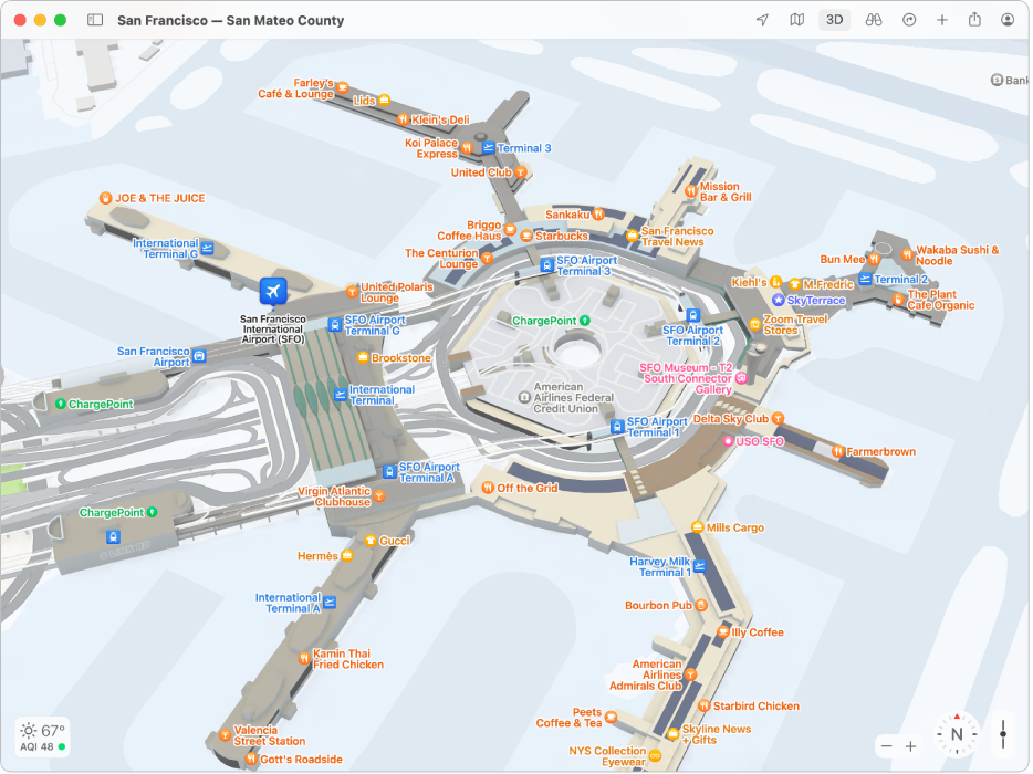
Find your way through airports or shopping centres in Maps on Mac
You can quickly get around airports, public transport stations or shopping centres.

Note: Maps for airports, public transport stations and shopping centres aren’t available in all countries or regions.
In the Maps app
 on your Mac, click the Current Location button
  or enter a location in the search field, then click a result in the list.
On the map, click Look Inside under the location’s name — or zoom in by pinching two fingers open on a trackpad.
Click the location on the map, then click a category (like Food, Restrooms or Gates) in the place card to see results on the map.
To see more information about a result click it.
To see a map of a different floor, click the button for the floor level at the bottom of the window (zoom in if you don’t see the button).