Modifying this control will update this page automatically

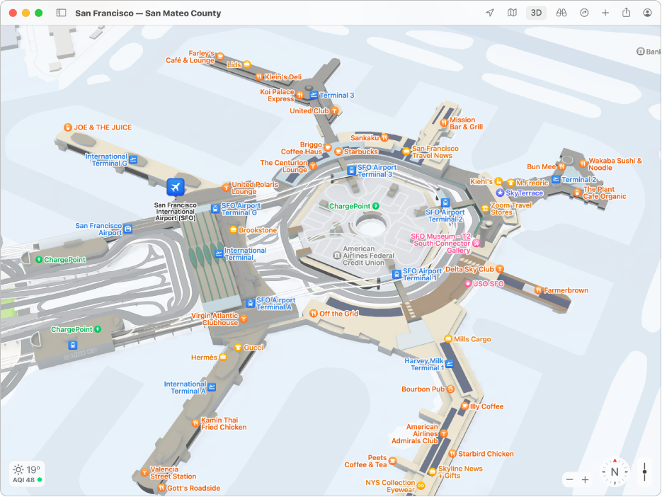
Find your way through airports or shopping centres in Maps on Mac
You can quickly get around airports, public transport stations or shopping centres.
Note: Maps for airports, public transport stations and shopping centres aren’t available in all countries or regions.
In the Maps app
on your Mac, click the Current Location button  or enter a location in the search field, then click a result in the list.
On the map, zoom in until details of what’s inside the location are shown.
Do any of the following:
Explore categories (like Food, Toilets or Gates): Open the location’s place card, then click a category to show the results on the map.
Show a map of a different floor: Click the button for the floor level at the bottom of the window (zoom in if you don’t see the button).